Yacht Decor
Our stylish yacht accessories and interior décor help you accent the living cabin and lounging areas of your yacht or boat.
-
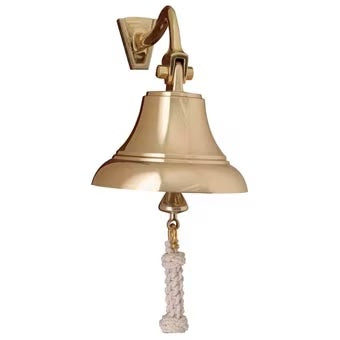
5" Brass Bell w/ Off-White Lanyard
Regular price $159.99 USDRegular priceUnit price per -
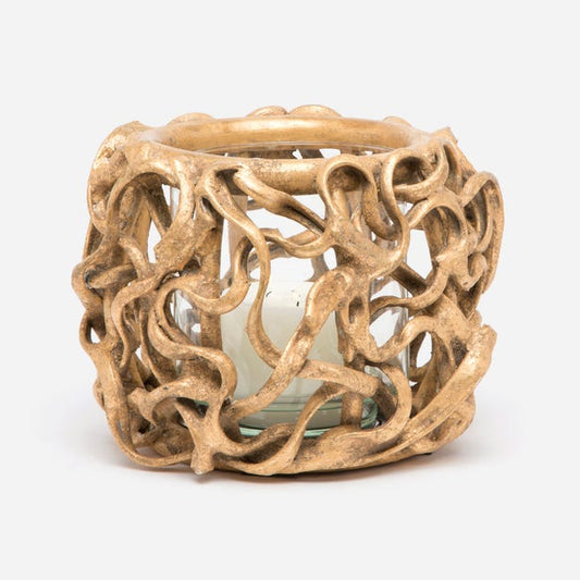
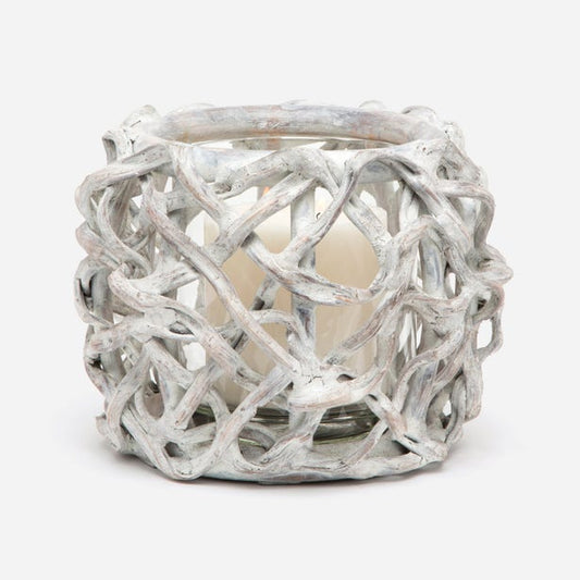
Tabua Vine Hurricanes - Pack of 2
Regular price From $655.99 USDRegular priceUnit price per -
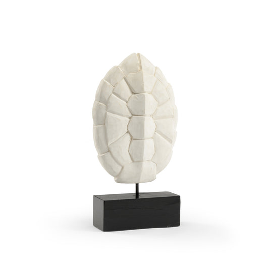
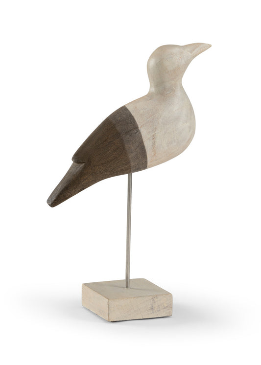
Turtle Shell
Regular price $174.99 USDRegular priceUnit price per -
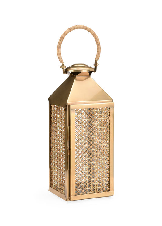
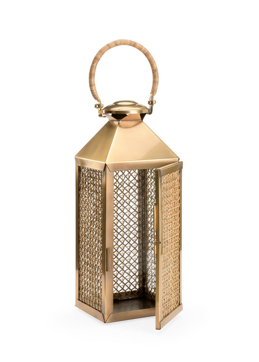
Woven Lantern
Regular price $474.99 USDRegular priceUnit price per -
Trysail Weather Center
Regular price $424.99 USDRegular priceUnit price per -
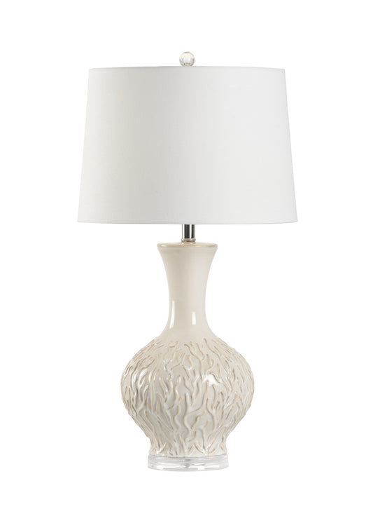
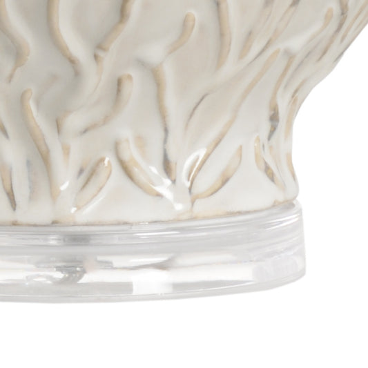
Urchin Lamp
Regular price $649.99 USDRegular priceUnit price per -
Nautical Tambour Clock
Regular price $309.99 USDRegular priceUnit price per -
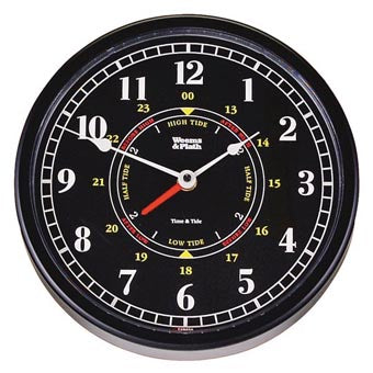
Trident Time and Tide Wall Clock
Regular price $159.99 USDRegular priceUnit price per -
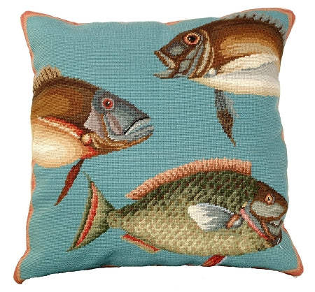
Saltwater Fish Needlepoint Pillow
Regular price From $219.99 USDRegular priceUnit price per -
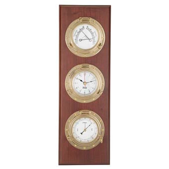
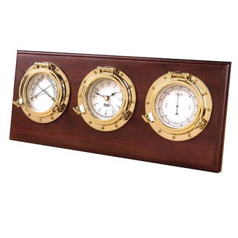
Porthole Weather Center
Regular price $444.99 USDRegular priceUnit price per -
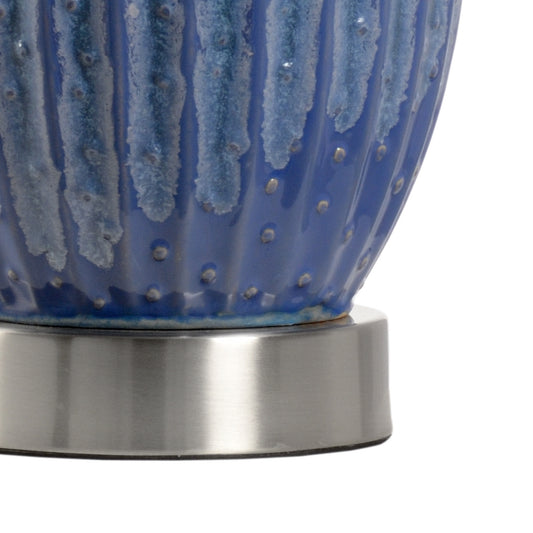
Sea Grass Lamp
Regular price $649.99 USDRegular priceUnit price per